Peoria, Illinois
Outdoor · sunny · ~50 ft
Objects: yes. The road: only up close. Distance on a slope: no.
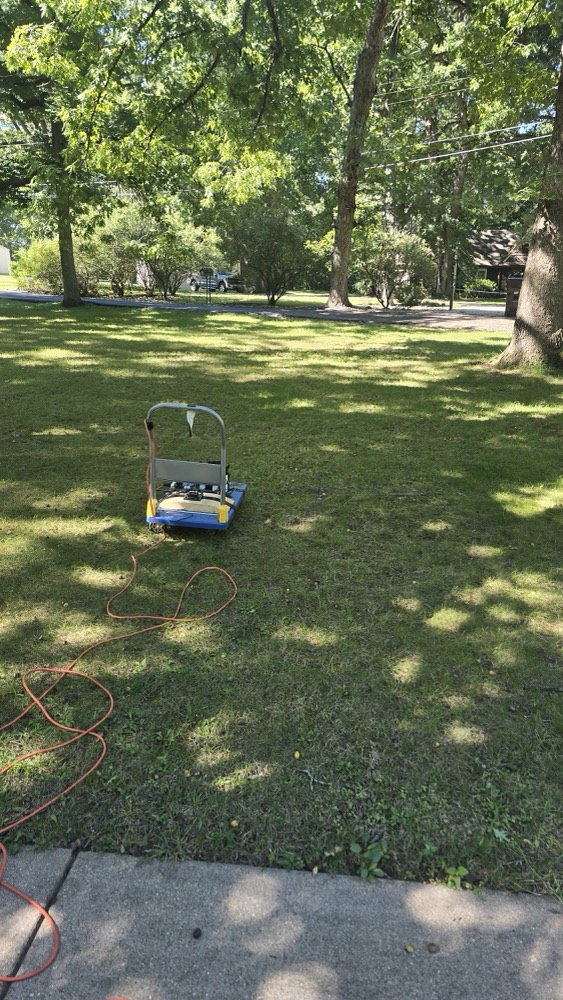
We took the hand-pushed rig from last week's hallway tests onto the front lawn and pointed it down the shortest line to the road, about 50 feet. From one camera frame, the on-board model found the pickup across the street, the mailbox, a trash bin and the tree trunks, and planned a route that put the big tree on the correct side at a distance within 13% of the tape. It recognized the road itself only from about 10 feet. And the lawn's slope tilted the camera enough to break the single-camera distance method that worked well indoors.
Every one of those failures points at a specific, cheap fix: a tilt sensor, a stereo camera, and a small model that separates road from grass. That is what derisking is for.
The rig and what it saw
Walking up to the road
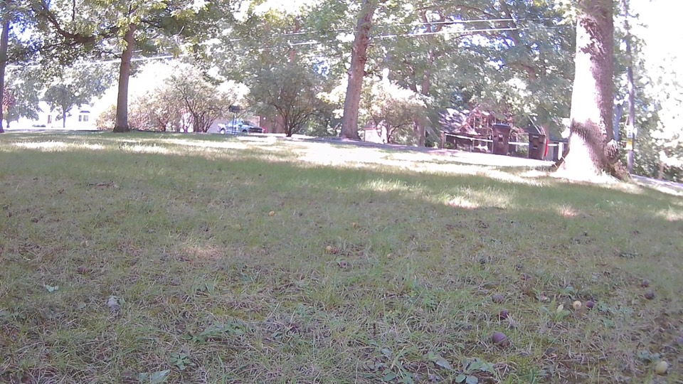
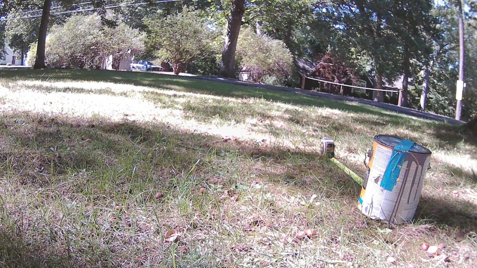
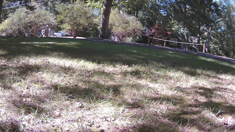
We stopped every ten feet or so, asked the model to find only the road, and taped the true distance. The box is the model's answer.
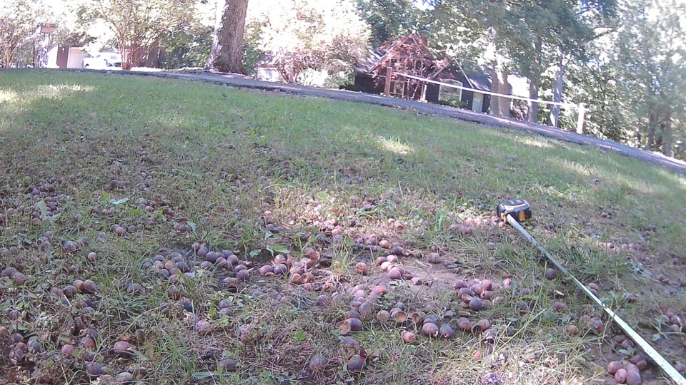
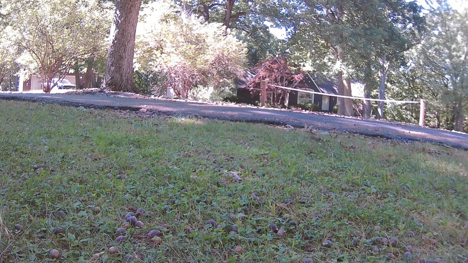
| Tape to road | Road found? |
|---|---|
| 50 ft | miss boxed a sunny patch of lawn and driveway |
| 40 ft | miss |
| 29.5 ft | miss same box as 40 ft |
| 19.5 ft | partial |
| 11 ft | hit |
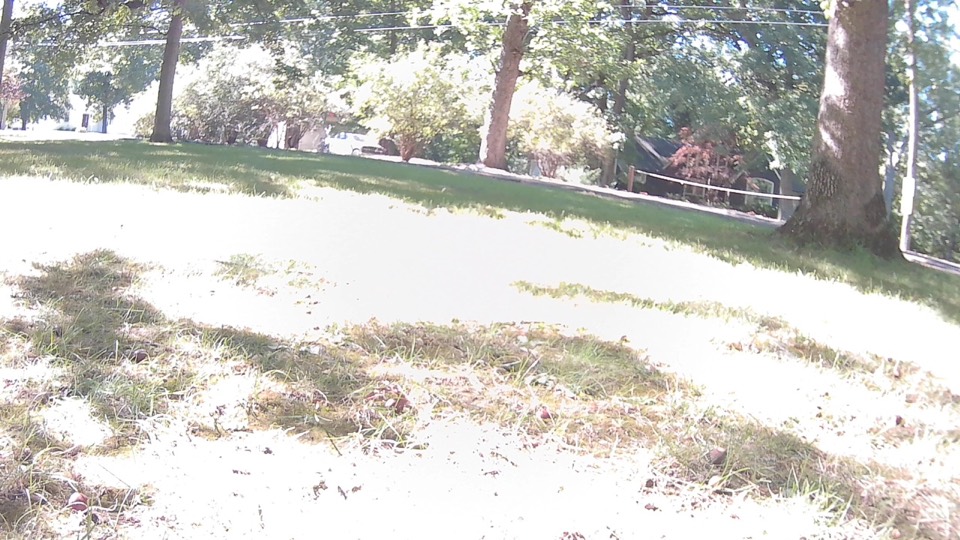
Look at the road in the four frames: it runs diagonally and sits high. The lawn slopes, so the camera was pitched up and rolled sideways. Our single-camera distance method assumes a level camera on flat ground. It measured a basket within a few percent in a hallway. On this lawn its numbers were meaningless.
The route plan
From the start line, the model located the obstacles and a few lines of plain rules turned them into a plan.
ROUTE MANIFEST · lawn to the road
Goal    stop before the road, do not enter it
Road    not seen from here (~50 ft); model sees it within ~10 ft
Hazard  big tree trunk, RIGHT (+33°), ~7.8 ft → off our line, hold heading
Far     middle and left trunks near the road, not in the path
Plan    straight ahead · 0.5 m/s · slow to 0.3 m/s for the last 10 ft
        STOP when the road is detected within 10 ft
| Check | Plan | Tape |
|---|---|---|
| Big tree side | right | right |
| In our path? | no | no |
| Distance | 7.8 ft | 9 ft · 13% short |
| Road distance | not estimated | 50 ft |
Every purchase traces to a measured failure
| What we measured | What it justifies |
|---|---|
| The lawn slope tilted the camera and broke distance | Tilt sensor (IMU), so every frame knows its own pitch and roll |
| Distance error grows fast past ~15 ft with one camera | Stereo camera, true depth without assuming flat ground |
| The road only recognized within ~10 ft | Road/grass segmentation model, software only |
| The model invented six extra trunks in one reply | A duplicate filter in the rules layer |
| Objects found well; route side and decision correct | Keep the current model for objects and planning |
Next: the stereo camera and tilt sensor, then this exact route plan again from the same spot with the same tape, side by side.